
Guilford ZIP Directory Coverage
Research verified one Guilford delivery ZIP at the address level. It did not verify a second USPS delivery ZIP serving a Guilford street address, so a responsible coverage table must show that gap instead of filling it with a nearby routing label. The post-office evidence and the exact-address check are stronger than a static list that treats every use of the word Guilford as a town-boundary result.
| ZIP Code | Areas Covered | Post Office | Notes |
|---|---|---|---|
| 06437 | Verified Guilford delivery area at the address level | USPS Guilford Post Office, 42 Water Street | Primary verified Guilford ZIP; confirm each exact street or box with USPS |
| Additional ZIPs | No additional Guilford delivery ZIP officially verified | Address-level USPS check required | Do not promote nearby or regional routing labels without a live result |
The conservative answer is that 06437 is the verified Guilford delivery ZIP in the research record. That does not mean every address carrying a Guilford mailing name lies inside the legal town, or that every parcel in town shares one postal label. The table is a starting point, not a substitute for an exact query.
06437 Is Guilford's Verified USPS ZIP
The USPS Guilford Post Office location identifies 42 Water Street, Guilford, Connecticut 06437-9994. That is the verified post-office evidence behind the ZIP entry above. It gives a real postal reference point, but it does not assign a ZIP to every road, shore parcel, PO Box, or island clue in the town. Delivery service is decided by the postal address supplied to USPS.
The USPS location record is shown in the linked capture below.
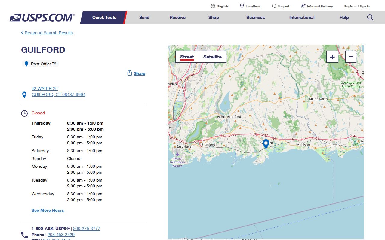
Use the post-office page as corroboration for the verified ZIP, then run the complete address through the USPS lookup before treating the result as current.
Verify Guilford Addresses in USPS
The USPS ZIP Code Lookup provides three modes. By Address is the key mode for a Guilford street because it tests the full delivery label, and the exact-address result is the authoritative delivery check. By City and State can return matching ZIPs when the live service supports that query. Cities by ZIP starts with a ZIP and returns city and state labels. The dynamic result did not remain stable during capture, so the live result should be treated as the current authority.
- Enter the exact house number and street in By Address, adding the city and state required by the form.
- Save the returned ZIP, ZIP+4 when shown, city label, and the date of the query.
- Run the same house number and street through the Guilford Assessor or MapXpress, which search by parcel clues rather than ZIP.
- Compare the postal label with the situs, tax-mailing address, and deed or map description.
- Once the address is fixed, use the street-level records route for parcel or historical research instead of assuming the ZIP is a person index.
The USPS field inventory is short but important:
| USPS mode | Fields captured | What it answers |
|---|---|---|
| By Address | Company optional; Street Address required; Apt, Suite, or Other optional; City required; State required; ZIP optional | Delivery ZIP for a complete address |
| By City and State | City and State required | ZIP labels associated with a city and state query |
| Cities by ZIP Code | ZIP required | City and state labels returned for a ZIP |
The USPS lookup screen is the best place to verify a changed address or a rural or shore label.
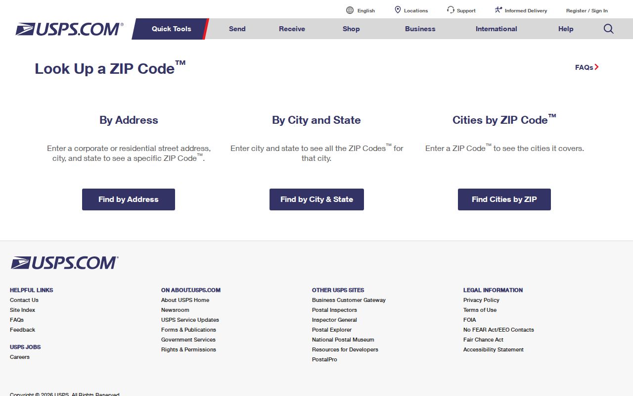
A live postal answer is still only a delivery answer. Keep it beside the parcel and legal fields rather than replacing them.
Guilford ZIP Search Has No Assessor Filter
The Guilford Assessor portal does not expose a ZIP field. Property Search uses owner name, location, street, MBL, unique identifier, and property use. MapXpress searches by owner or co-owner, house number, street, and parcel ID, then lets a researcher browse the map. Neither portal supports a claim that all parcels in one ZIP can be exported as a local people list.
The Guilford Tax Collector page is another useful comparison because it leads to bill and account information, not a ZIP directory.
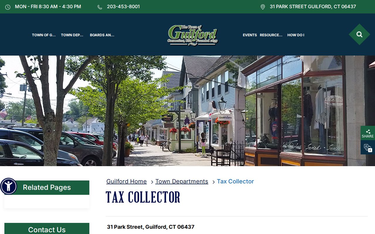
MyTaxBill has no ZIP filter either. Its captured search paths include last name plus first initial or business name, property number plus property name, bill year, type and number, account number, link year, type and number, Tax ID, account ID, DBA, and all, due, balance, or IRS-payment options.
The Guilford MyTaxBill search can be checked for the account or property clue.
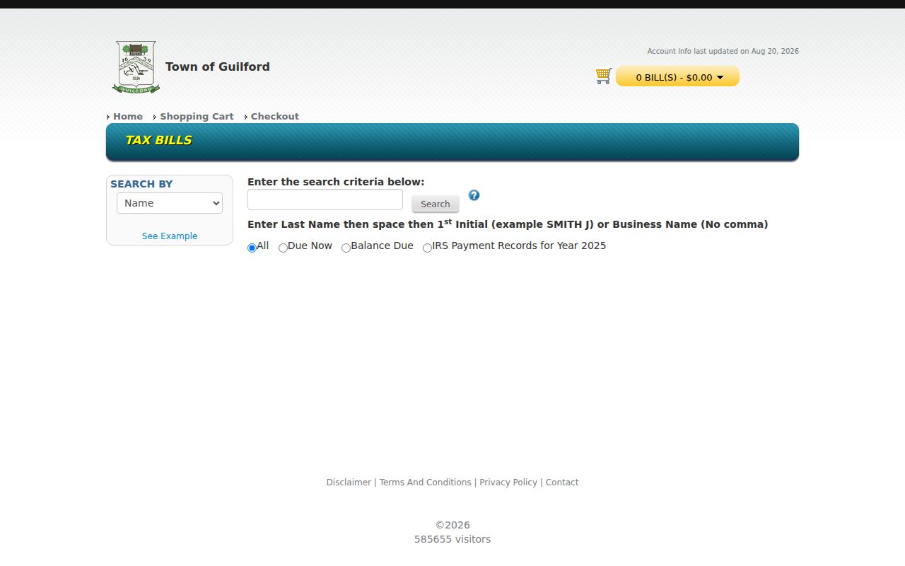
Tax results establish a bill, account, or payment path. They do not establish a full property history or a list of people at a postal address. The live voter fields were unavailable during research, and no voter ZIP field was verified.
Some state portals expose ZIP as a field for a different record purpose. Connecticut DCP eLicense can use credential, status, name, and address city, state, or ZIP fields, while the Secretary of the State business search can return entity address fields. Those are license and entity records, not a complete Guilford resident roll.
Insider Tip: Guilford Has Four Address Labels
A single Guilford research question can produce four different place labels. The situs is the physical parcel location. The tax-mailing address is where the owner or account receives correspondence, and it may be outside Guilford or a PO Box. The legal description uses deed, map, and lot language. The USPS label is the delivery city and ZIP. A result is not wrong just because these labels differ, but each label answers a different question.
Record the four fields side by side. A deed or map description is often the best continuity key when a street number or name changes. The Assessor and GIS identify the local parcel. Building and Engineering maintain an address-based permit route. The Registrar assigns voting geography. USPS assigns delivery geography. Do not collapse a tax mailing address into a situs, or a postal city into a legal town.
Note: A postal city label is a delivery convention, not a ruling on municipal ownership, voter residence, or parcel boundaries.
Guilford ZIP Geography Is Not the Town Line
ZIP codes are delivery geographies. They do not trace the same lines as Connecticut towns, deeds, parcels, or voting districts. Census ZCTAs are statistical approximations built for tabulation, not official USPS delivery boundaries. The Census ZCTA guidance makes that distinction clear, so a ZCTA map should not be used as a legal Guilford boundary map.
The Census ZCTA explanation is shown in the linked capture below.
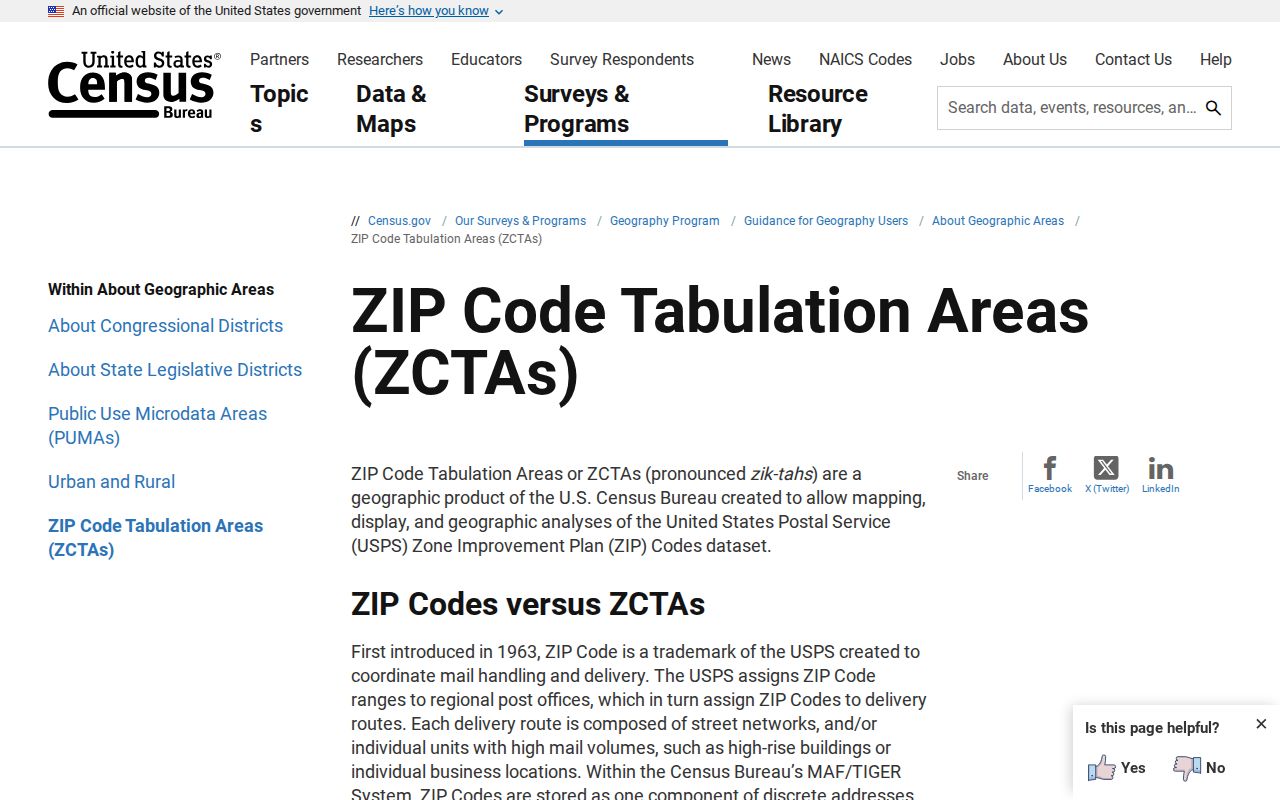
For a boundary-sensitive address, compare the USPS result with the Guilford situs, the tax-mailing location, the deed or map description, and the parcel shape. A neighboring mailing label can still be a postal result without changing the legal town. Conversely, a Guilford place name does not prove that an address lies inside the town line.
- ZIP code
- A USPS delivery geography used to route mail. It is not a parcel, town line, or resident roll.
- ZIP+4
- An added four-digit delivery segment that refines a ZIP result for an address or route.
- ZCTA
- A Census statistical approximation of ZIP geography. It is not the same thing as a USPS delivery boundary.
- PO-box ZIP
- A ZIP used for post-office boxes or a postal facility, which may not describe a street parcel.
- Unique ZIP
- A ZIP assigned to a single organization or destination, rather than a broad street area.
- Carrier route
- A postal delivery path within a service area. It is a routing concept, not a municipal district.
Shore and Lake Clues Around Guilford ZIPs
Names such as Sachem's Head, Guilford Lakes, Mulberry Point, and Indian Cove can help a researcher recognize a shore or lake context in a directory, map, association record, or newspaper. They are geographic clues only. The research did not verify a separate ZIP assignment for each named area, and an association name should not be treated as a USPS boundary.
Faulkner's Island adds a more unusual Guilford geography clue. The lighthouse sits about 3.5 miles offshore, and access is restricted during the May through August nesting season. That setting shows why a place name can belong to Guilford geographically while not behaving like a normal inland street-address search. Use USPS for delivery, MapXpress for a parcel when one exists, and the relevant historical or civic source for context.
Near shore, lake, rural, or preserve areas, write down the exact street or box before using a place name as a search term. A neighborhood label can guide the next query, but only the address-level record can confirm the delivery result.
Historical Guilford Addresses Need More Than ZIP
A historical postal label is not enough to join an old person to a current parcel. The regional directory run identified for Guilford covers 1913/14 through 1928 with several missing years. EBN, the State Library, and Gale can provide alphabetical and street sections, while RecordHub maps and surveys reach back to October 30, 1858. Those sources use names, street numbers, map references, and legal descriptions in different ways.
For an old address, write the directory number and printed street name, then compare the deed description, map or lot, current parcel geometry, and the nearest newspaper or census locality. No verified town-wide street-renumbering year or ZIP split was found. A street section may show a business or household at a number while the deed preserves a lot description that points to a different modern label.
Once a ZIP narrows the current location, the Guilford street directory by address route is the better place to connect a parcel, deed chain, voter-status question, and historical street section.
Myth: A Guilford ZIP Identifies a Household
A ZIP code can identify a delivery area, but it does not identify a person, household, owner, voter, or protected address. One postal result can serve many parcels, while a tax account can use a mailing address outside the town. The Assessor, GIS, MyTaxBill, and voter routes also lack a single shared ZIP key in the captured research.
Read a ZIP hit as one small piece of location evidence. Verify the exact address with USPS, then ask the parcel, deed, tax, voter, or historical source the narrower question it can answer. Do not use a postal label to infer who is present at an address or to reconstruct an address that a confidentiality program protects.
Safe Limits for a Guilford ZIP Search
The safest ZIP workflow is precise and modest. Save the exact USPS query and result. Keep the postal city and ZIP beside the Guilford situs, not in place of it. Preserve the MBL, parcel shape, legal description, and tax-mailing location when property records are involved. If the question concerns a named voter, use the official status route and respect protected fields. If the question concerns an older address, mark missing directory years and unresolved street-number links.
Lawful personal use. Use ZIP and address evidence for personal, lawful research, family history, civic verification, or a property question. A postal result is not permission to stalk, harass, intimidate, or harm anyone.
Connecticut's records are distributed across USPS, the Town Clerk, Assessor, GIS, Building and Engineering, the Registrar, and historical custodians. Verify the result with the office that keeps it, and do not turn a ZIP code directory into a claim of complete local knowledge.