
Walk a Guilford Street by Address
Street-level research works best as a chain, not as one broad name search. Begin with a house number and the current street spelling. The address gives the Guilford Assessor and MapXpress a way to identify a parcel, while the parcel or MBL gives later searches a steadier key than a street label alone. The owner shown in a property record is an owner of record, not a list of every person connected with the address. A deed records a transfer, and voter status answers a narrower question about one named person.
Keep a working row for the modern address, parcel or MBL, owner name, situs, tax-mailing location, legal description, and source date. Then move through the local record chain in this order:
- Address. Write the house number, street name, unit, and any old spelling. Do not join two records on street text alone.
- Owner and parcel. Search the Assessor by location or owner, and save the MBL, unique identifier, result row, and detailed card link.
- GIS. Use MapXpress to select the parcel, check its shape, copy the parcel information, and inspect adjacent lots and map layers.
- Deed chain. Search the current owner as grantee in RecordHub, capture the latest instrument, then search the prior grantor as an earlier grantee.
- Voter status. Use the statewide status route only for a specific named-person question. The street-list PDF supplies district geography, not a public name roll.
- Historical street section. Compare directory entries, newspapers, maps, and legal descriptions around the years that matter, keeping gaps marked.
This sequence keeps parcel evidence, transfer evidence, and person evidence from being blended into a claim that a public name list cannot support. When the question narrows from a whole street to one person, the Guilford resident lookup route provides a better record-by-record frame.
Guilford Street Directory Record Coverage
Several Guilford custodians can be searched by an address or can be reached through an address-based request. Each record set has a different purpose. The Assessor and GIS connect a street to a parcel. RecordHub adds recorded instruments. Tax, permit, voter, and historical sources add narrower clues, each with its own access gap or privacy boundary.
| Record Set | Keeper | What It Shows | Access |
|---|---|---|---|
| Property card | Guilford Assessor | Owner of record, situs, mailing location, MBL, use, acres, zone, buildings | Public portal; older cards by request |
| GIS parcel | MapXpress | Parcel shape, adjacent parcels, overlays, aerial context, sales-year colors | Free viewer; verify abutters |
| Deed index | Town Clerk and RecordHub | Grantor, grantee, document type, date, legal description, image path | Online from 1972; earlier books or counter route |
| Maps and surveys | Town Clerk and RecordHub | Map, lot, subdivision, road, and parcel continuity clues | Online coverage from 1858; search access can vary |
| Tax bill | Tax Collector and MyTaxBill | Bill, account, payment, and delinquency routing | Public search; no ZIP filter; not full property history |
| Building permit | Building, Engineering, and Tyler | Address-based construction or change evidence | Current online-only process; result fields and history need confirmation |
| Voter status | Secretary of the State and Registrar | Current status and district context for a named voter | Individual lookup; protected fields remain closed |
| Historical directory | EBN, State Library, and Gale | Older named occupants, businesses, and street entries | Year runs and account access vary |
The parcel or MBL is the bridge. Copy it before opening a deed, a permit question, or an adjacent parcel. A tax mailing location can help locate an owner, but it can be outside Guilford or a PO Box. A directory entry can name one household or business without showing every person at the address. Those distinctions keep a Guilford by-address search useful and honest.
Search Guilford Streets in the Assessor Portal
The Guilford Property Record Cards search offers a direct street and parcel path. Use the last name first when searching an owner, then add a street or location to narrow the result. The portal has Property Search and Sales Search tabs, but the property tab is the better starting point for a street directory because its results connect the name to a location and parcel identifier.
Here is the captured Property Search field set:
| Field | Type | Required | Guilford format or options |
|---|---|---|---|
| Owner Name | Text | No | Last First; last-name searching is useful with a street |
| Location | Text | No | House number, street name, and unit as applicable |
| Street | Dropdown | No | Guilford street list; full live option list was not exposed |
| MBL | Text | No | Municipal block and lot identifier |
| Unique Identifier | Text | No | Portal parcel or property identifier |
| Property Use | Dropdown | No | APARTMENT, AUTOMOTIVE, CHURCH, ELDERLY, ENTERTAINMENT, FARMS/BARNS, INDUSTRIAL, LODGING, OFFICE, PUBLIC USE, RESIDENTIAL, RESTAURANT, RETAIL, SCHOOL, SPECIAL PURPOSE, VACANT LAND |
The result headers are Street Name, Number, Unit, Name, Uniqueid, MBL, Property Use, Acres, Zone, and Buildings. The blue street name opens the property detail. The portal was updated on August 17, 2026, and states that assessment figures use 70% of estimated October 1, 2022 market value. That is assessment context, not a title opinion or proof of who is present at the situs.
For a visual starting point, the Guilford Assessor real-estate page shows the municipal path into property records.
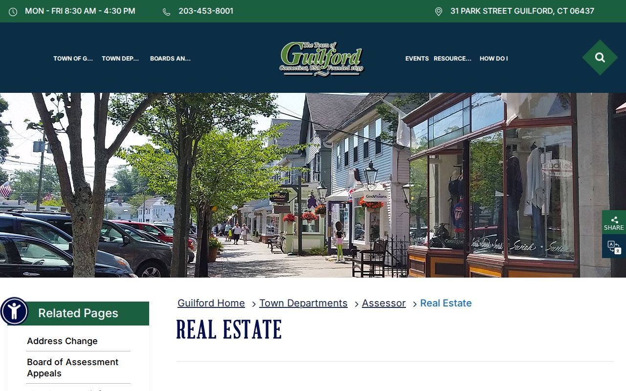
The Assessor page is a useful launch point, but the detailed result still needs to be read as an assessment record rather than a complete directory of people.
Insider Tip: Guilford Situs Is Not Tax Mail
A Guilford parcel has a physical situs, while the Assessor and Tax Collector may send tax correspondence to a separate mailing location. The situs is the location used for the parcel, GIS, permits, zoning, and legal description. The mailing address may be outside Guilford or may be a PO Box. It can help locate an owner of record, but it does not show that the owner is present at the parcel or that every person at the parcel shares that address.
The town's Assessor address-change information warns that a tax bill can be generated after six-month postal forwarding and that the Tax Collector sends it to the last known address. Keep the two fields in separate columns. If an old deed, a current property card, and a tax bill show different address strings, preserve each one with its source and date.
Address check. Match the physical situs to the parcel and legal description first. Treat a mailing street or PO Box as correspondence information, not as proof of a current household.
Walk Guilford Parcels in MapXpress
Guilford MapXpress property search accepts an owner or co-owner mode, house number, street, or parcel ID. Search one address, select the parcel, and copy the parcel or MBL and situs before moving to another record. The route is spatial, so it can expose a lot shape or neighboring parcel that a plain street-name search would miss.
The MapXpress parcel-search interface is shown in the linked capture below.
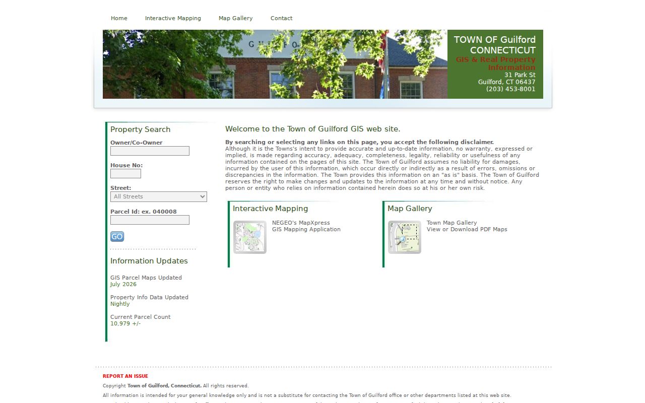
Use the returned parcel as the anchor for the Assessor detail and the RecordHub legal description. MapXpress reports about 10,979 parcels, with parcel maps updated in July 2026 and property information updated nightly. That freshness is useful, but the viewer is still an as-is source and tells users to verify abutters with the Town.
For a closer block view, open the MapXpress parcel viewer, leave parcel boundaries visible, and use Select or Print Map. The viewer also provides a legend, measure tools, transparency controls, and a parcel-information panel.
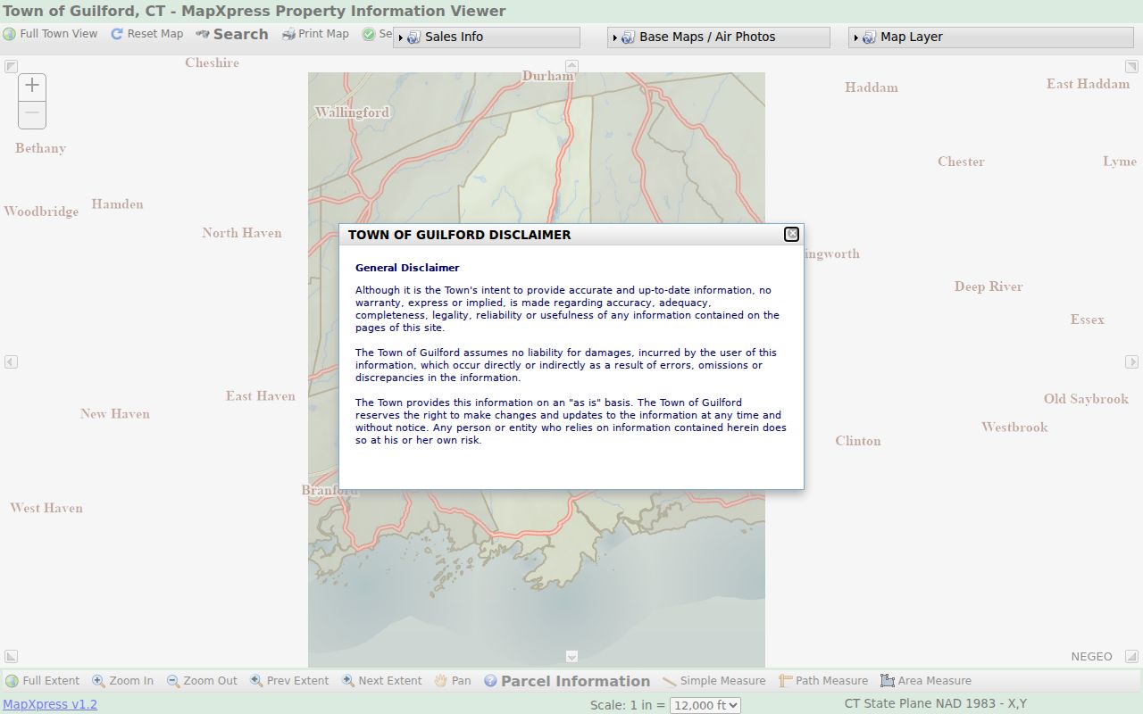
A selected parcel can lead to adjacent lots, but it does not create a complete public list of people on a street. Save the map date and the parcel key before comparing the next lot.
Guilford Street Layers Add Place Context
The MapXpress viewer adds useful context around a street without changing what an owner record means. Aerial choices include 2005, 2012, 2013, 2016, 2019, and 2023. Sales symbology marks Grand List years 2021 through 2025. Historic houses and districts, wetlands, FEMA mapping, DEEP inland wetlands, schools, public safety, Land Trust and open-space areas, easements, and 2023 contours can explain why two nearby parcels carry different map clues.
Use the layers to ask a better record question. A historic-district layer can point toward a survey or preservation file. An easement or open-space layer can explain a parcel shape. A school or public-safety layer can orient the address. None of those layers supplies a person list, and the viewer's approximately 10,979-parcel count is not a household count.
Note: GIS property information is updated nightly, while map updates are dated separately, so preserve the date shown when saving a result.
Trace Deed Chains Along Guilford Streets
Guilford is in New Haven County, but Connecticut has no current county recorder or county clerk that holds Guilford land records. The local authority is the Guilford Town Clerk, at 31 Park Street, with a listed phone number of 203-453-8001. The office is generally open Monday through Friday from 8:30 a.m. to 4:30 p.m., and recording has a 4:15 p.m. cutoff. The online RecordHub land index carries index and images from April 1, 1972 through August 19, 2026, from Volume 192 forward.
RecordHub also lists maps and surveys from October 30, 1858, and trade names from January 5, 1995. Use Simple Search for a broad pass, Expanded Search for a targeted party or date, and Name Directory to inspect indexed name variants. The documented controls include exact matching, BEGINS WITH and CONTAINS modes, a wildcard at the end, document or index categories, and a second-name AND or OR choice.
- Capture the grantor or grantee role and the indexed party name.
- Copy the document type, recording date, book and page or volume and page, and document number.
- Read the legal description, map or lot reference, and street or situs language together.
- Record whether an image is linked, and inspect it for redactions before relying on it.
- If the chain predates the online range, ask the Town Clerk, library, archive, or genealogical route for earlier books and indexes.
Search the current owner as a grantee, identify the latest seller, and search that seller as a grantee. Repeat backward while testing surname variants and checking the MBL or legal description. A deed proves a transfer, not a later move or a complete list of people associated with the street.
Guilford Permits by Address
Building records can date a change at an address, but the public result fields and historical reach need care. Guilford's Building Permit page says applications and permits use the online Tyler route only. Zoning approval is a prerequisite, and a Health B100 review is listed at $50 for specified conversions, changes of use, and structures. Plans, plot plans or A2 surveys, septic as-builts, and well locations can be part of an incomplete application review.
The municipal Guilford Building Permit page gives the starting point for the current process.
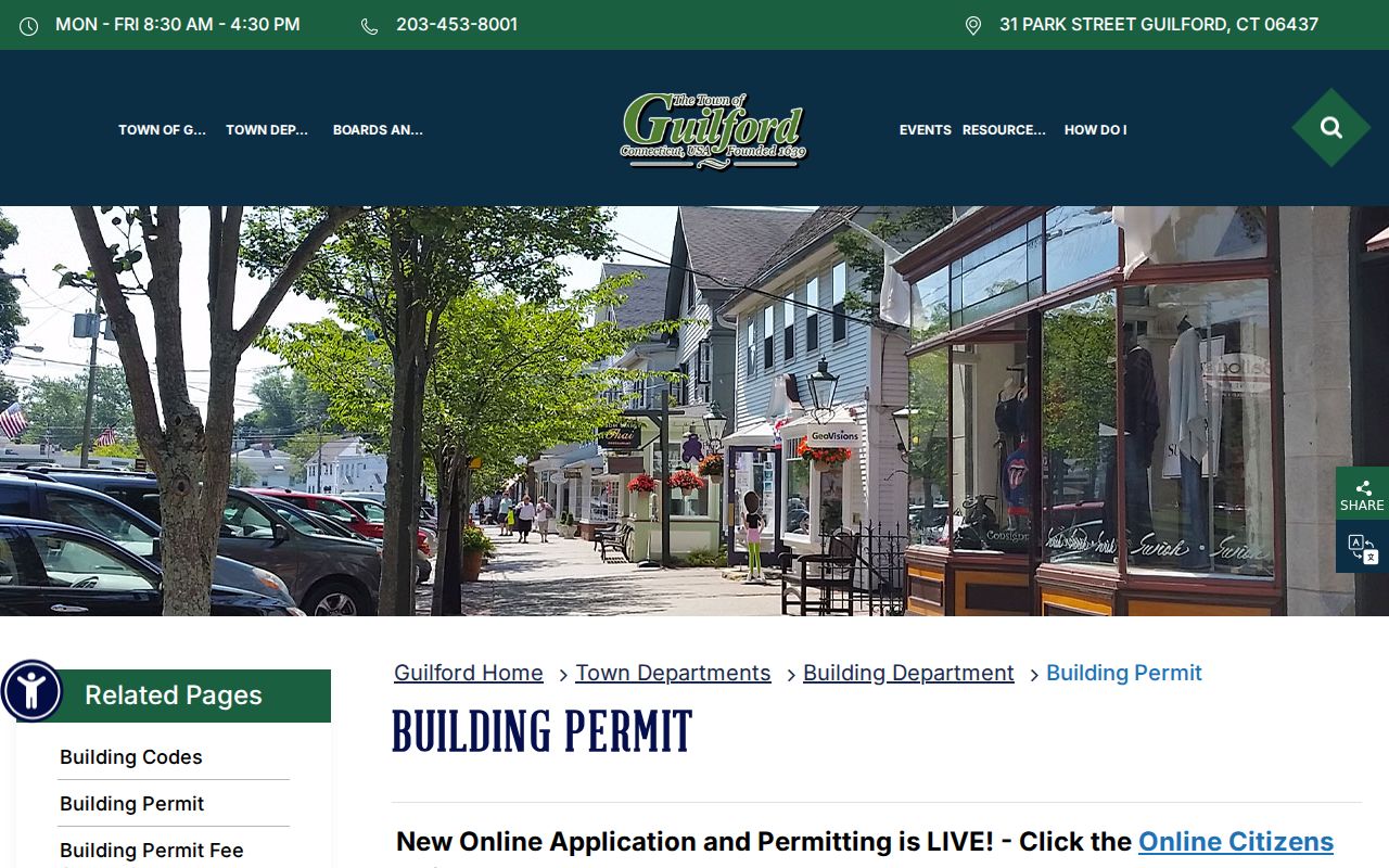
That page confirms the online-only route and zoning prerequisite. It does not provide a stable public result-field inventory for every historical address.
The live Tyler SelfService permit portal is the address-based entry point.
Do not assume that an applicant, contractor, or permit contact is an owner or a person present at the parcel. Because the exact public result fields and historical coverage were not captured, request a specific address and date range from Building or Engineering, or use the Connecticut FOI Act route when appropriate.
Street-Level Voter Evidence in Guilford
Guilford's Registrar of Voters page points to the statewide Connecticut Voter Registration Lookup, polling information, and a street-list or voting-district PDF. The PDF is geographic. It maps streets to districts, which helps select the right civic or court route, but it is not a publicly searchable name roll. The live status form was blocked during research, so no unverified field list should be added.
A current status match is person-oriented. The underlying public voter file can include the registered name, residence or mailing address where maintained, party status where applicable, active or inactive status, district assignment, participation history, and year of birth under the current release rule. It does not disclose ballot choices. Full birth dates, Social Security numbers, driver's-license numbers, and protected addresses are not normal public lookup results.
A written full-file request goes through the Secretary of the State's LEAD route and is listed at $300. Protected voters and Safe at Home participants can have identifying address information suppressed. For a street question, use the individual status route only when a named person needs confirmation, and never turn a district PDF into a claim that every person at an address is registered there.
There is no DMV or utility customer block roll to fill that gap. DMV personal-address data is restricted, and utility or delivery customer lists are not a public source for a street directory.
Historical Guilford Street Sections
Older street evidence sits with the EBN Historical Room, the Connecticut State Library, and regional directory collections rather than one continuous current portal. The Connecticut River Valley directory run identified in the research covers 1913/14 through 1928, with missing years 1917, 1920 through 1923, and 1925 through 1927. A 1913 Guilford example is useful because it shows the method: locate the street section, read the address entry, then check a newspaper, map, or deed for context.
Read the alphabetical name section and the street or address section as two different tools. A name index can find a person, while the street section can show a household or business at a number. Printed entries may include a spouse or relationship note, a trade or professional description, a town heading, an owner or status abbreviation, or an advertisement. They can omit family members and may use an old number or a spelling such as Leete or Leetes.
When a historical collection becomes central to an address question, the Guilford city directory collections page is the natural next stop. Keep the modern parcel key beside the old street entry so a historical name does not become a present-day claim.
Keep a Guilford Address Continuity Sheet
A simple continuity sheet prevents a street search from losing the link between a modern number and an older legal description. Write each source on its own dated row. Include the current street number, any old number, street spelling, MBL, map or lot, deed language, parcel or unique ID, postal ZIP, directory year, and the name as printed. If a source supplies a tax-mailing address, place it in a separate field from the situs.
- Parcel
- A mapped piece of land identified in Guilford by a parcel or MBL path, with a shape and location that can connect GIS to property records.
- Situs address
- The physical Guilford location used for the parcel, permits, zoning, and local property description.
- Plat
- A recorded or filed map that helps identify lots, subdivisions, roads, and the relationship between parcels.
- Legal description
- The deed or map language that can preserve parcel identity when a street name or number changes.
- Criss-cross directory
- A historical reverse directory that starts with a street or address and leads to a named occupant or business.
No official source located a Guilford-wide street-renumbering year or an annexation and readdressing project. For an old address, compare the directory number, Town street map, deed description, map or lot, current GIS geometry, and USPS label. The same number can point to different parcels over time, and one legal description can survive a changed number. Mark an unresolved link as a research gap instead of forcing the records together.
Myth: A Guilford Record Is a Household
An owner row, deed party, or voter-status hit is not a complete household and does not prove present physical presence. A property card may show a separate mailing location. A deed names parties to a transfer. A voter record answers a status question for a person and may omit protected addresses. A historical directory can list one household name or business while leaving out other people who used the address.
The clean way to read a hit is to label its role: parcel evidence, ownership evidence, transfer evidence, current status evidence, or historical address evidence. Then look for a second source that answers the same narrow question. If a person or address is protected, do not reconstruct it by joining nearby parcels, association pages, maps, or old entries.
What a Guilford Street Directory Cannot Show
Public address records do not provide a universal list of everyone connected to a street. Non-owner occupants, household members, utility customers, delivery recipients, and protected voters may not appear in the sources above. The Town's street-list PDF gives district geography, not a public name roll. Permit files can have an uncertain public result set, and historical volumes have missing years. These limits are part of the record trail, not a reason to fill gaps with guesses.
Lawful personal use. Use Guilford street and address records for personal, lawful research such as family history, property questions, civic verification, or reconnecting with someone through an appropriate official route. Never use public records to stalk, harass, intimidate, or harm any person.
When a result matters, verify it with the office that keeps the record. Preserve the query, date, parcel key, and exact source type. That practice keeps a Guilford street directory grounded in what the record actually says.