
A Guilford Neighbor Lookup by Block
A block-level search works when the sources stay in their own lanes. MapXpress gives the parcel shape and adjacent-lot path. The Assessor supplies owner, use, acreage, zone, and building fields. RecordHub adds transfers and legal descriptions. The Registrar's street-list PDFs explain district geography, while the state voter system answers a specific person's current status. Local associations and the library add community or historical context, not a complete list of everyone nearby.
| Source | What It Shows About a Block | Access |
|---|---|---|
| MapXpress parcel viewer | Adjacent boundaries, owner and MBL path, zoning, historic, environmental, and aerial context | Free viewer; verify abutters with the Town |
| Assessor search | Owner-index results by street or location, use, acres, zone, buildings, and mailing or situs details | Free portal; no ZIP filter; historic cards by request |
| RecordHub | Transfers and legal descriptions for the anchor and adjacent parcels | Index and images from 1972; earlier counter or archive route |
| Street list and voting-district PDF | Street-to-district and polling geography | Registrar route; not a named voter list |
| Voter status or full file | Specific person's current status, with a separate written full-file route | State portal; $300 full file; protected addresses |
| Directory or newspaper | Historical named household or business at an address or street | EBN, State Library, Gale, or library databases; gaps vary |
| Historic survey | Architectural context for selected buildings | EBN print survey and Preservation Alliance leads |
| Neighborhood association | Community governance, events, public contact, and local history | Association sites; no public member rosters located |
The table separates three kinds of evidence: parcel and owner data, named-person history, and community context. An owner row does not name every household member. A street-list map does not expose a searchable roster. An association calendar can explain a place without identifying its members. That separation is the foundation for a useful, lawful neighbor search.
Select a Guilford Anchor Parcel
Begin with one address in Guilford MapXpress search. The search accepts an owner or co-owner, house number, street, or parcel ID. The parcel viewer then gives the selected lot a shape, an MBL path, and a link toward property information. Keep the search address and the date beside the map because the viewer says its data is provided as-is and can change without notice.
- Search the house number and street, or use the parcel ID when one is already known.
- Copy the selected parcel's location, MBL, and owner link before widening the view.
- Zoom to a block-sized scale and leave parcel boundaries visible in every direction.
- Use Select on adjacent lots, then open each parcel-information link for situs, owner, MBL, use, acres, zone, and building count.
- Save the map date and disclaimer, and verify abutters or adjacent owners with the Town before relying on the result.
The measure, path, and area tools can document a frontage or buffer, but they do not create a resident list. For the whole named street and its address-keyed record chain, use the Guilford street directory route instead of expanding a block view into a claim about all neighbors.
Guilford Neighbor Tip: Preserve the MBL
Once the anchor parcel is selected, keep the map at a scale where the lot lines remain easy to read. Click the parcels on every side, not just the lot that seems closest on the screen. The parcel-information panel can lead to the owner record, but the owner name, situs address, mailing location, MBL, use, acres, zone, and building count should be copied into separate fields.
MapXpress shows Parcel Base Map, aerial layers, a legend, print controls, Select, and simple, path, or area measure tools. Those controls help document geography. They do not tell you who is inside a structure, which family members share a parcel, or whether an owner is present. The research capture did not preserve a stable live parcel with neighboring result cards. Label any screenshot as an interface demonstration and link to the current viewer for the live map.
RecordHub is the next check when a neighboring parcel needs a transfer history. Use the legal description or MBL, not just a street string, to avoid joining two similar locations. RecordHub's online land-record index and images begin 04/01/1972, while maps and surveys extend to 10/30/1858. Earlier deed books, a Town Clerk request, or a library route may be needed for a longer block history.
Guilford Neighbors in Land-Use Layers
A parcel's surrounding layers can explain why two nearby lots have different public-record context. MapXpress includes historic districts and National Register historic houses, wetlands and DEEP layers, FEMA mapping, open space, easements, schools, public safety, aquifer protection, farmland and surveyed soils, and 2023 contours. The viewer also identifies Guilford Land Trust areas and aerial years from 2005 through 2023. These layers describe place and public land-use context, not private household composition.
The Guilford Land Trust properties page names preserves such as Big Maple, Bluff Head and Northwoods, East River, Westwoods, Tanner Marsh Brook, and other public trail locations.
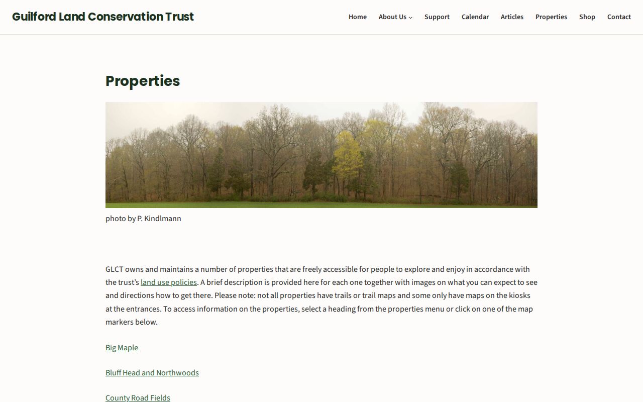
The Land Trust image is useful as community geography. A preserve name can help explain a map layer or a route near a parcel, but it does not supply a member list or identify every person near the trail.
Keep the map's disclaimer with any saved note. Parcel maps were updated in July 2026 and property information was reported as nightly, but the Town remains the place to verify abutters and adjacent owners.
Owner Records Are Not Every Guilford Neighbor
The owner of record is one legal relationship to a parcel. The mailing address is another. Neither field names every household member, a non-owner occupant, or a utility customer. A voter record can show a specific person's current status, but it may be inactive, cancelled, protected, or affected by timing. A historical directory may show one name per household or business and omit other people.
Association pages have the same boundary. They may publish governance, committees, events, or a contact route without publishing a public member directory. DMV data and utility customer lists are not open block sources. A court order, Safe at Home address, SOTS voter privacy flag, or C.G.S. §1-217 protection should never be reconstructed by combining nearby records.
Myth check. A public owner or voter hit is not a complete neighbor list. A commercial compilation category can also be incomplete, stale, or merge similar names, so any useful lead still needs a primary-record check.
| Official parcel, voter, and community sources | Show a defined record, status, map layer, governance item, or historical clue. They retain the custodian's access limits and do not establish every household member. |
|---|---|
| Commercial compilation category | May combine public-record extracts, directory material, address-history feeds, or licensed data. A price or report format does not make a match authoritative. |
For a careful block note, keep parcel and owner evidence, historical named-person evidence, and community context in three separate columns. That layout prevents a public event page or a GIS owner link from becoming a claim about who lives around an address today.
Street Lists and Guilford Voter Visibility
The Guilford Registrar of Voters page connects streets to voting districts and polling information. Its street-list and district PDFs are useful for geography. They do not create a public, name-searchable list of everyone on a block.
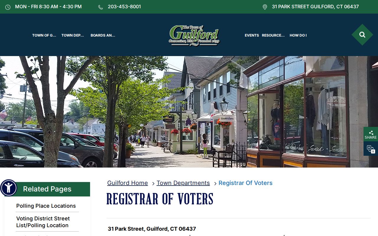
The Registrar image shows the local routing context. The current status question still belongs to the statewide SOTS lookup, whose live fields were not verified during capture.
Public voter-file descriptions can include a registered name, residence or mailing address, party status where applicable, active or inactive status, district or precinct, polling assignment, participation history, year-only birth information, and protected flags. They do not disclose ballot choices, Social Security numbers, driver's-license numbers, or full birth dates in an ordinary lookup. A current-status match is not proof of continuous physical presence at a parcel.
The full voter file requires a written request to Connecticut Secretary of the State LEAD, P.O. Box 150470, Hartford, Connecticut 06115, at LEAD@ct.gov or 860-509-6100. The listed fee is $300, and payment is required before release. The request-form link and exact file format were not captured. Do not infer a block export or publish a protected address from a neighboring match.
Guilford Association Inventory for Neighbors
Guilford's named community groups offer local history and public governance context. They do not function as one town-wide neighbor directory. The public access column below records what the inspected sources actually expose.
| Organization or area | Local context | Public access |
|---|---|---|
| Sachem's Head Association | State-chartered as a municipality in 1921; its public history describes about 30 families at first and 120 families in 2024. | Governance, committees, events, budget, and grand-list context are public; no public member directory was located. |
| Guilford Lakes Improvement Association | A 1930s vacation community around three lakes, incorporated by legislative act in 1963, with lakes, beaches, dams, property, and community-welfare work. | Public history and community context; no member roster located, and the lakes and beaches are private. |
| Mulberry Point and Indian Cove | Both appear as private property-owner associations in Guilford's revised hazard-mitigation plan. | No official public directory or contact roster was located in the inspected research. |
| Guilford Land Trust | Publishes named preserves and public trail geography across Guilford. | Public properties and contact route; no private neighborhood member list. |
| Other civic and geographic groups | Town boards and commissions include the Guilford Green Committee, Historic District Commission, Safe Streets Task Force, Scenic Roads Advisory Committee, Shellfish Commission, and Sustainable Guilford. | Public meeting or board records may identify officers; no umbrella neighborhood directory was located. |
The Guilford Lakes Improvement Association page is a useful source for the area's public community history.
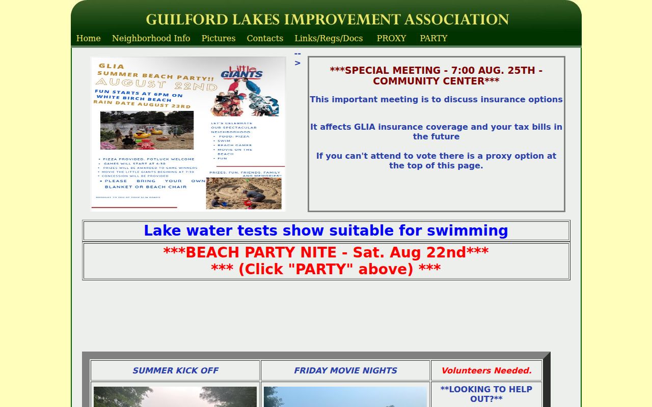
The Lakes image supports a place-based explanation, not a roster of families or property owners.
The Sachem's Head Association publishes public governance, committee, and event information for its community.
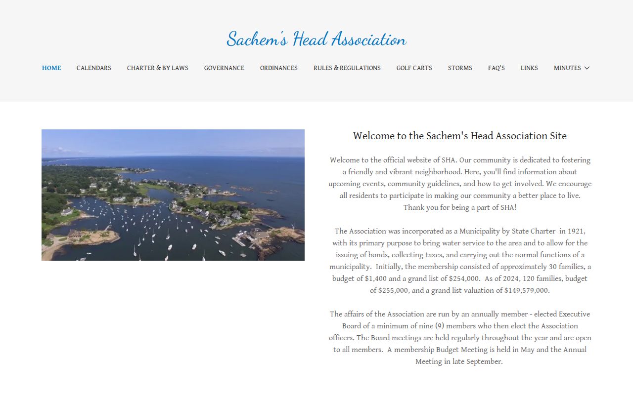
Sachem's Head public pages describe the community and its governance while keeping member information outside the open directory route.
Public Community Pages, Private Member Lists
An association website can show a board, meeting notice, event calendar, history, or a way to contact the group. That is valuable for understanding a neighborhood, but it is not consent to identify or publish every member. The same distinction applies to a Land Trust preserve page, a historic-district record, or a public meeting agenda. Public visibility of the organization does not make its private roster public.
For a civic question, use the public contact route and ask for a date- or topic-specific record. For a historical question, EBN, the Guilford Keeping Society, newspapers, directories, and the historic survey may provide a named clue. The research did not locate an open university alumni directory, Chamber member directory, veterans-post roster, fraternal list, or public social archive for Guilford. A missing roster is a research boundary, not an invitation to infer one.
When the goal shifts from a block to a whole named street, the Guilford street directory page's address chain is the better route. It keeps current parcel evidence separate from the immediate neighbor question.
A Geography Note for Guilford Neighbors
Guilford includes a shoreline and island context that does not fit a simple inland grid. Faulkner's Island Lighthouse sits about 3.5 miles offshore, and seasonal access is restricted during the May through August nesting season. A postal label, parcel search, or neighborhood name therefore needs to be checked against the exact address and map location.
Other useful geographic search terms include Leetes Island, Sachem's Head, Guilford Lakes, Mulberry Point, Indian Cove, the Guilford Green, East River, Westwoods, Neck River, and the historic district. These names can guide a directory, newspaper, association, or GIS search. They do not prove that every address belongs to an association or shares the same record custodian.
The map layers tell a settlement story through historic houses, shore communities, lake development, preserves, wetlands, aquifer protection, and working or rural parcels. That context can make a block description more accurate without guessing at the private lives of the people nearby.
Privacy Boundaries for a Guilford Neighbor Lookup
Safe at Home, Connecticut's Address Confidentiality Program, gives qualifying participants a substitute address and mail-forwarding service. SOTS voter privacy can suppress a name and address when disclosure would endanger a person or family. C.G.S. §1-217 supplies another residential-address nondisclosure route for certain protected officials and public-safety roles. A protected residence should not be reconstructed through adjacent parcels, old directories, association pages, or a map layer.
DMV personal information is closed under C.G.S. §14-10 and the federal Driver's Privacy Protection Act. Utilities and delivery records are not public block sources. Court, vital, probate, adoption, and recorded-document restrictions still apply when a related name appears somewhere else. A public map is a tool for place, not permission to monitor a person. Keep only the details needed for a lawful personal question, and verify the custodian's current access rule.
The capture session did not preserve a stable live neighbor result card or a public block-wide export. That gap remains important. A saved map should carry its date, anchor address, MBL, visible boundaries, layer legend, and disclaimer, and it should be described as an interface demonstration when no stable result was captured.
The Connecticut centralized voter privacy page explains the public-field and suppression boundary.
The voter-privacy image is an access reference, not evidence about a particular Guilford neighbor or address.
Lawful use. A Guilford neighbor lookup is for personal, lawful research, reconnecting, civic understanding, or safety awareness. Using records to watch, stalk, harass, intimidate, or harm anyone can violate Connecticut law.